Research:
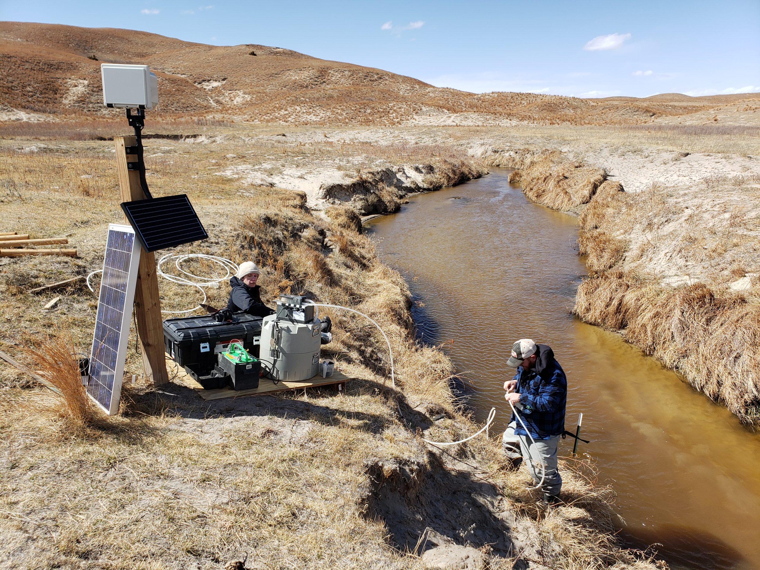
We monitored water quality in the Nebraska Sandhills, combining water sampling with time-lapse imagery from multiple cameras, including two co-located Platte Basin Timelapse cameras. The USGS 104b program supported this project. The animation below illustrates changing water color with changing dissolved organic carbon (DOC)* measured in water samples.
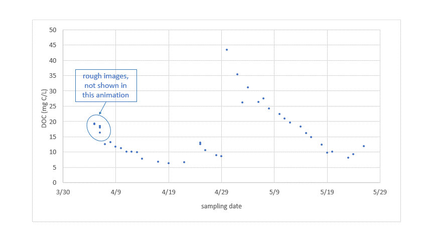
*NOTE: DOC concentrations may have been affected by sample storage in the automated field sampler (ISCO) prior to sample filtration and acidification.
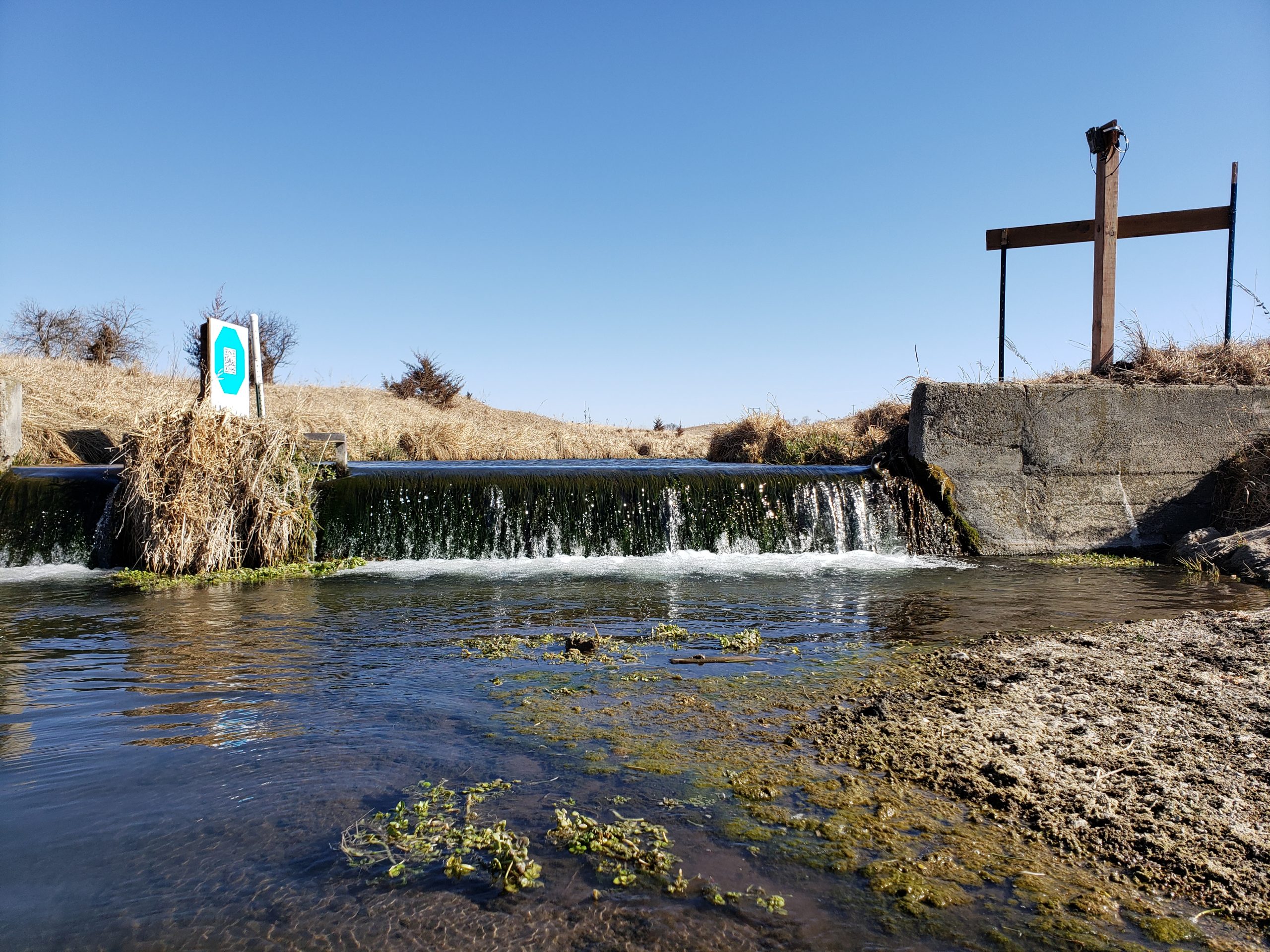
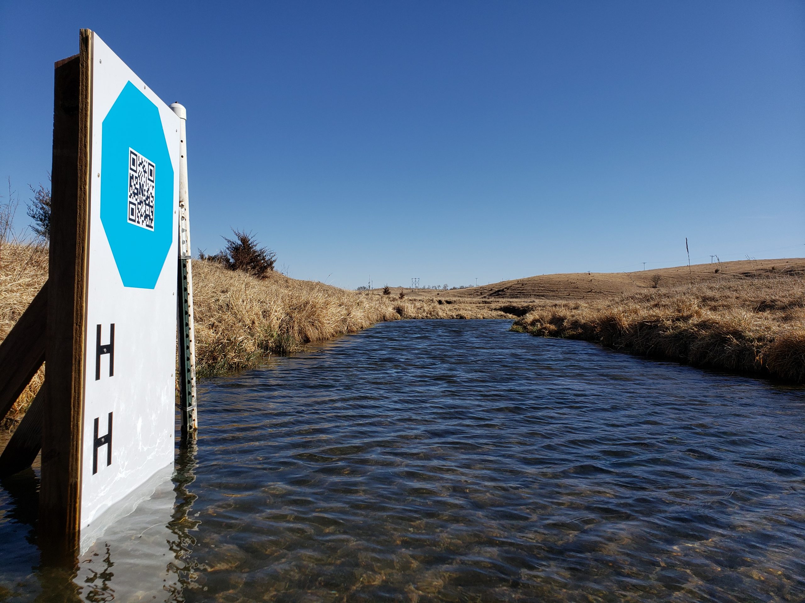
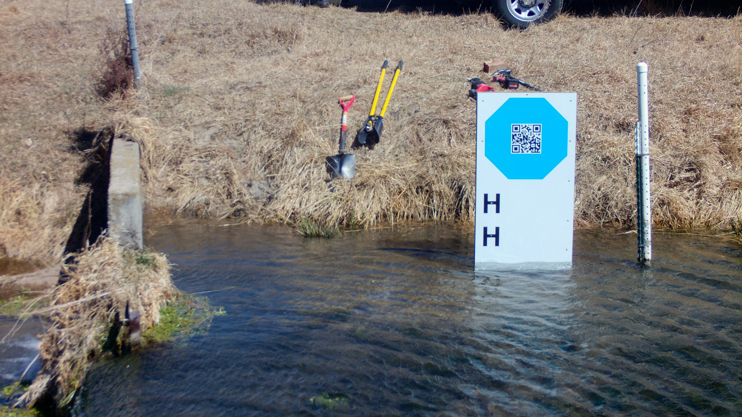
At the Kearney Outdoor Learning Area (KOLA), we installed two different GaugeCam targets as we develop less intrusive methods for image-based water level measurement. This installation, which also includes a traditional water level sensor (HOBO transducer), is the focus of PhD candidate Ken Chapman’s final dissertation chapter. This work is supported in part by the UNL Collaboration Initiative.
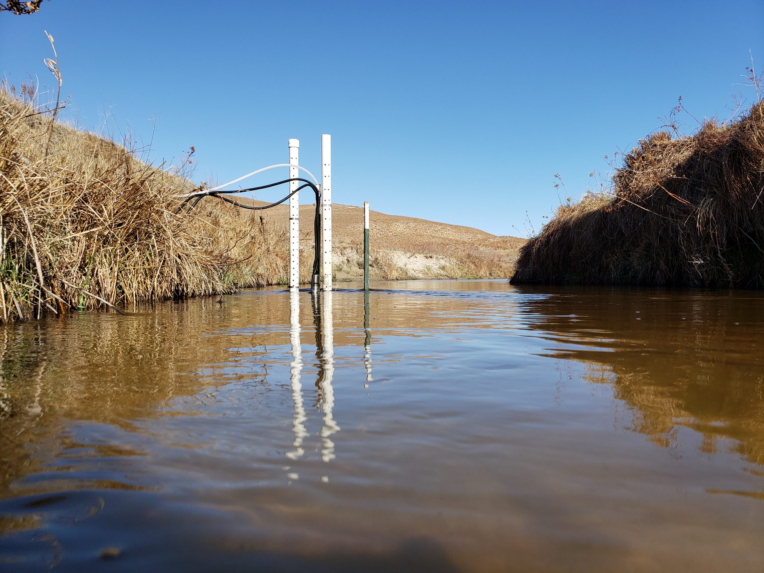
In Bazile Creek, we monitored water levels using a camera and GRIME2 software. This work is partially supported by USDA (PR-HPA LTAR Network).

Software Development:
GRIME2 (water level) software was published in a peer-reviewed article.
GRIME2 has now been updated to accommodate both a bowtie target (see right-hand side of KOLA image, above) and an octagon calibration target (left-hand side of KOLA image).
Partnerships:
GaugeCam Team Presentations:
T.E. Gilmore, Stranzl, J., Chapman, K., Harner, M. GRIME-AI Open-Source Ecosystem for Time-lapse Imagery. USGS CDI Script-a-thon, October 11, 2022 (virtual, 50+ attendees)
Stranzl, J., T.E. Gilmore, M. Harner, and K. Chapman. 2022. GRIME-AI software for incorporating information from ground-based camera imagery with other sensor data (talk). Joint Aquatic Sciences Meeting, Grand Rapids, Michigan. May 2022.
Harner, M., T. Gilmore, K. Chapman, J. Bajelan, A. Klein, and C. Wagner. An introduction to the Kearney Outdoor Learning Area (KOLA) for experiential learning in ecohydrological research. 2022 Platte River Basin Conference. Kearney, NE. October 2022.