April 2024 GRIME Software Fans Update

Updates Feature Photo Information The attached figures are composite images composed of pixel columns from 800 time-lapse images captured midday at an urban pond during 2020-2023. One composite was created using the center pixels from each image, showing ice, algae and vegetation. The other composite shows only vegetation from the far-right pixel columns of each […]
New GRIME2 release with CLI generator

This release makes the creation of CLI calls much easier. The ROI’s and other parameters you select in the GUI can be used to create CLI parameters and output them as test to the textbox below the main image. There are two “Create command line” buttons: one on the Calibration tab and one on the […]

What time-lapse camera should I use for image-based hydrology with machine learning?

Planning ecological and/or hydrological research project using trail cams? If so, you might be wondering about which camera and mounting system to use. We have some ideas. But first, here are some helpful references from groups that have many years of experiences with camera traps and ecohydrological monitoring: Learn from Andrew Richardson’s account of PhenoCam’s […]

Water Level Camera: mini-octagon target test

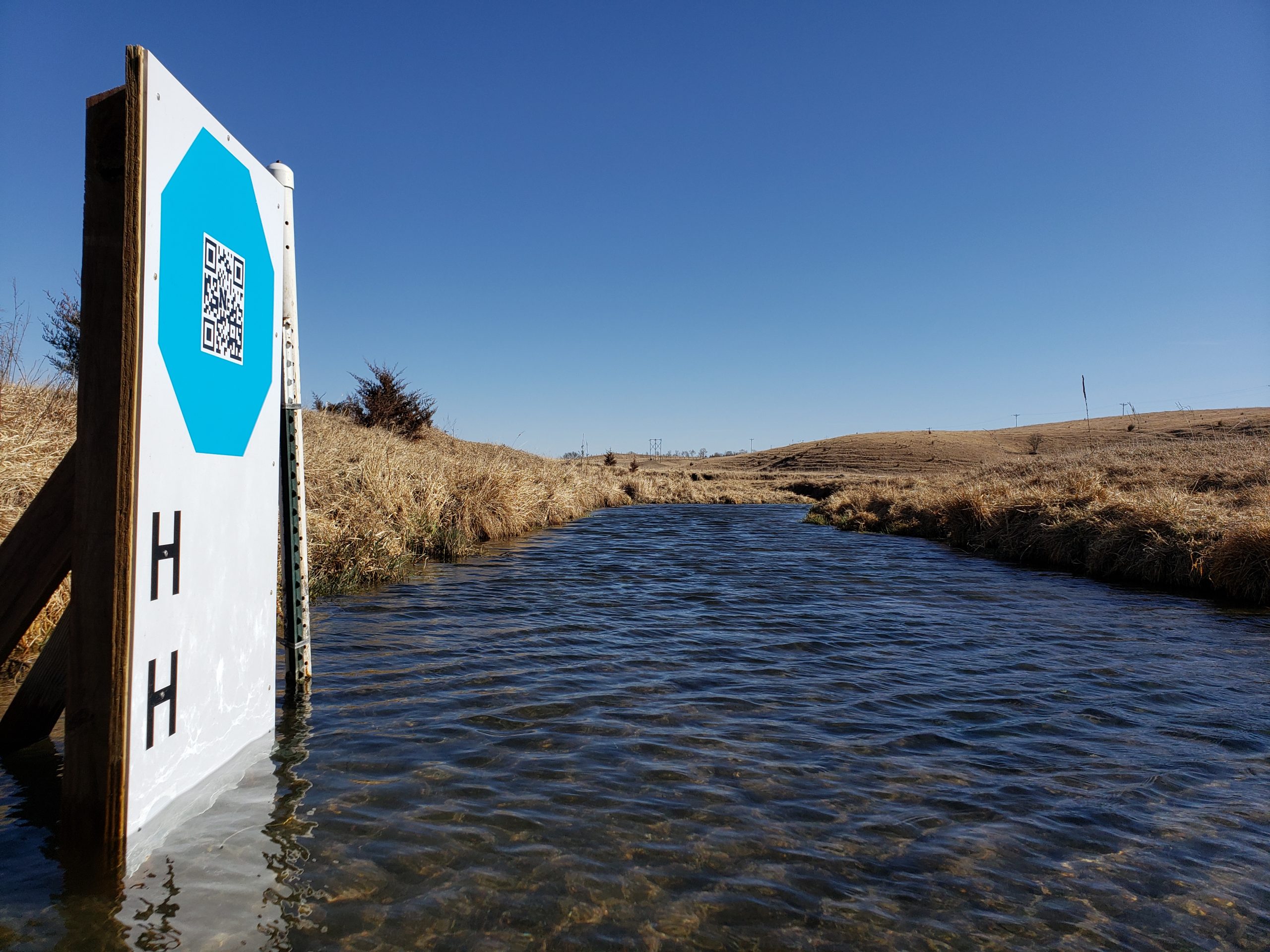
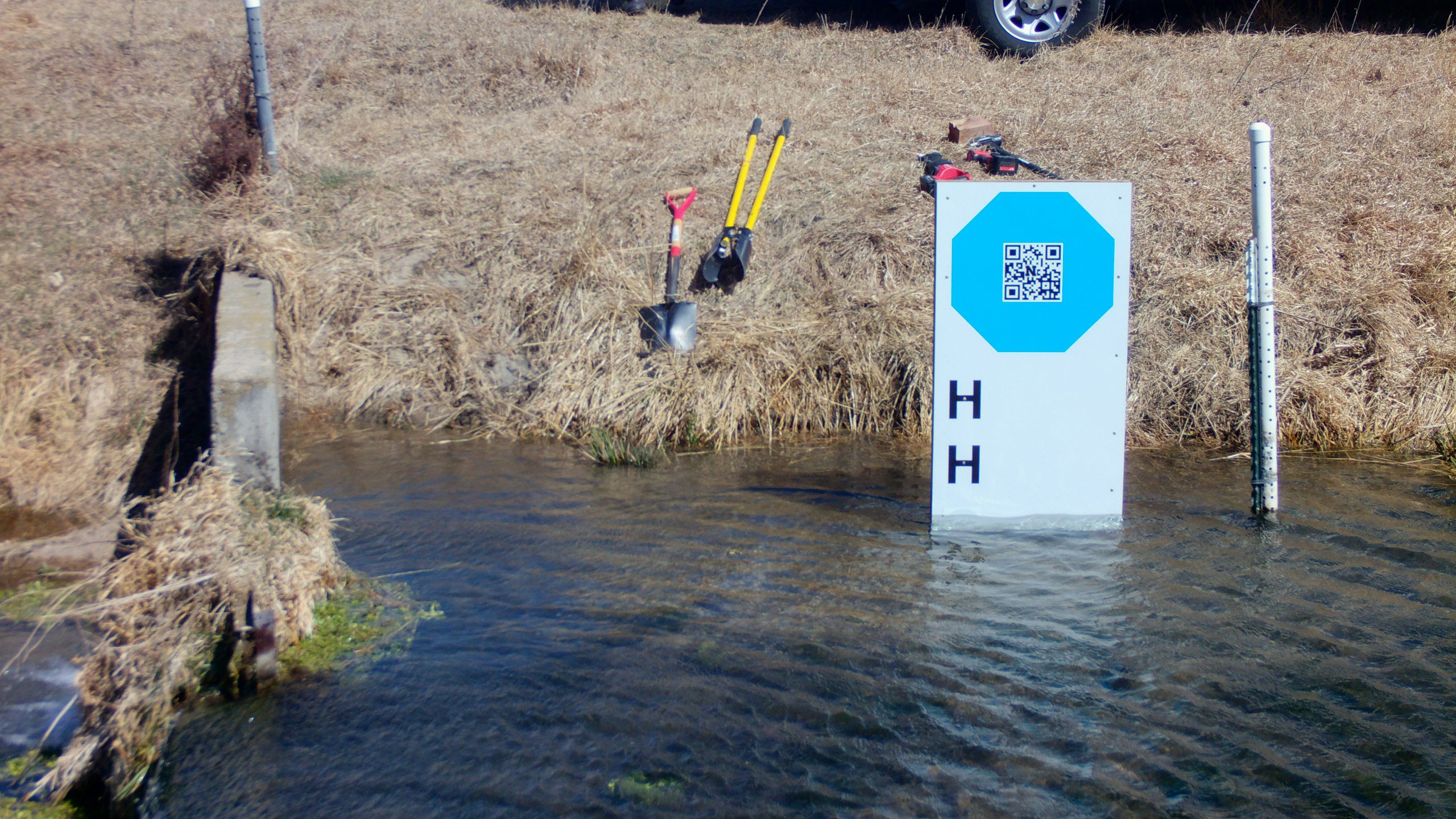
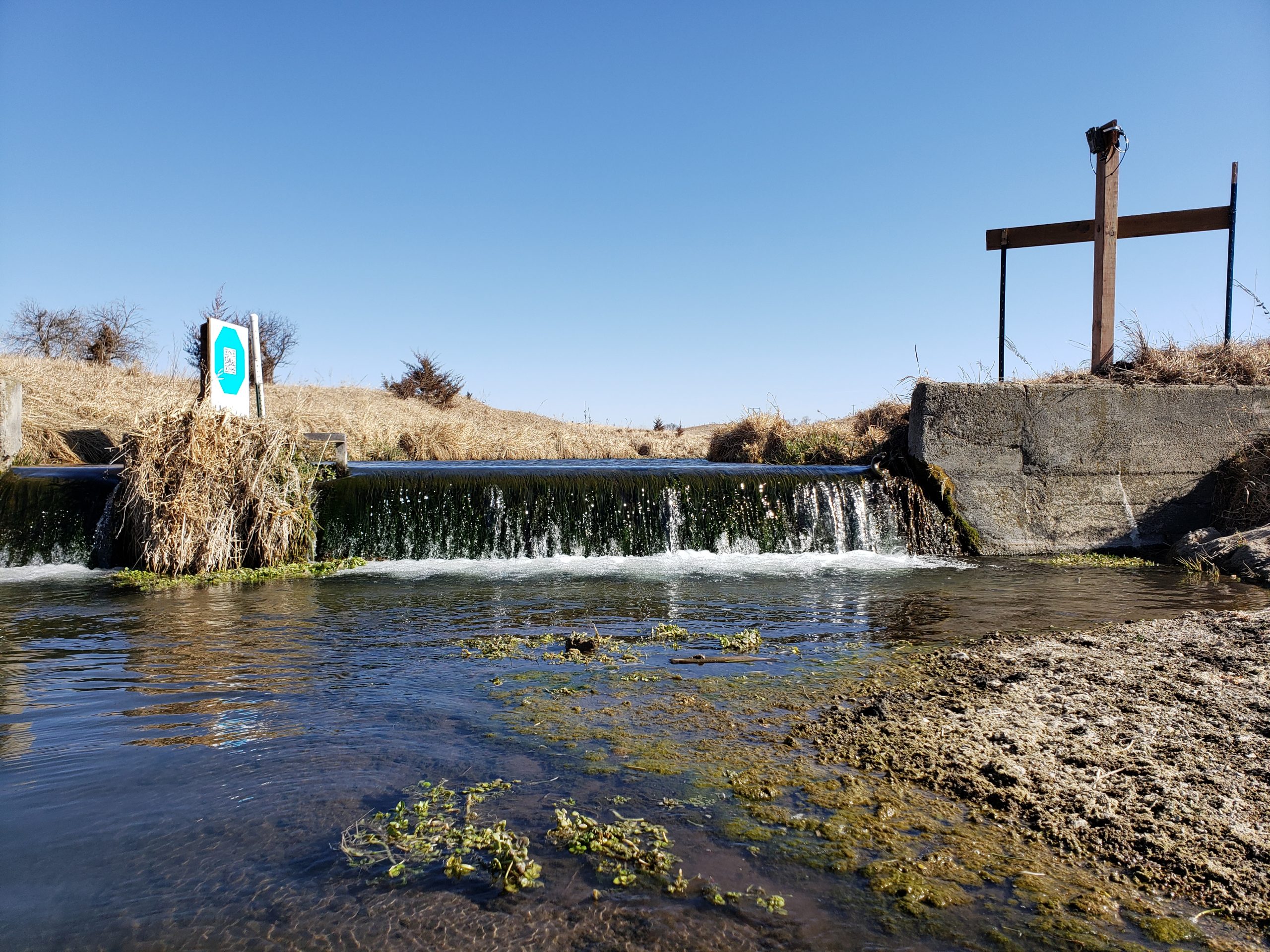
This post describes the first testing of a mini-octagon calibration target for measuring water level with a camera and machine vision algorithms. The original GaugeCam “bow-tie” calibration target was about three feet wide and four feet tall. This target yielded excellent calibration and precise water level readings. However, the size of the target is obtrusive […]

December 2023 GRIME Software Fans Update

Featured Photo Updates Software Information What is GRIME? GRIME (GaugeCam Remote Imagery Manager Educational) is open-source commercial-friendly software (Apache 2.0) that enables ecohydrological research using ground-based time-lapse imagery. The first GRIME software for measuring water level with cameras was developed in François Birgand’s lab at North Carolina State University. What are GRIME2 and GRIME-AI? GRIME2 […]

ITESM Collaboration: Data Fusion Project

Building on the successful WaterFront Software and KOLA Data Portal projects, we embarked on another student-led adventure in the Fall 2023 semester! Professor Elizabeth López Ramos connected the GRIME Lab team with an excellent student team at Tecnológico de Monterrey (ITESM). These students led the Data Fusion Project. The Data Fusion Project is a first […]

GRIME-AI: A Quick Check on Time Required for Accessing and Processing USGS HIVIS Imagery

This video shows steps and time required for data download and image analysis of over 5,000 images from a USGS HIVIS site on the Elkhorn River in Nebraska. The process includes setting regions of interest (ROIs) and extraction of color and other scalar image features suitable for machine learning applications. This work was done on […]

GRIME-AI v0.0.3.7 Camera Trap Software for Ecohydrology: Current and Future Features

This post builds on our recent update about GRIME-AI capabilities. The previous post (and video) described features in GRIME-AI that are reasonably stable (although subject to occasional changes in APIs for public data sources). The description below is our current roadmap to a full GRIME-AI suite of tools for using imagery in ecohydrological studies. Please […]