Skip to content
GRIME Lab logo

We use ground-based time-lapse imagery for ecohydrological research, education and communication.

stream monitoring site with weir and GaugeCam and camera monitoring system
Kearney Outdoor Learning Area stream monitoring site with downed tree across a gravel-bed creek
Sandhills groundwater-fed stream with monitoring equipment installed
Scientists setting up monitoring equipment on a groundwater-fed Sandhills stream in Nebraska
Stop sign target for GaugeCam image-based water level measurement system
  • Home
  • GRIME AI
  • GRIME2
  • Publications

calibration

GaugeCam blog – a revival

Posted on December 31, 2021 by Troy

When the GaugeCam project started back in 2009, we documented much of the work through blog posts.

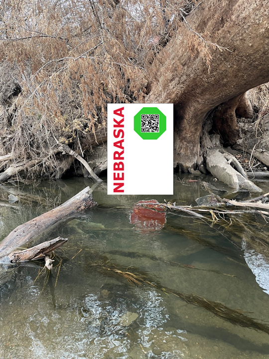
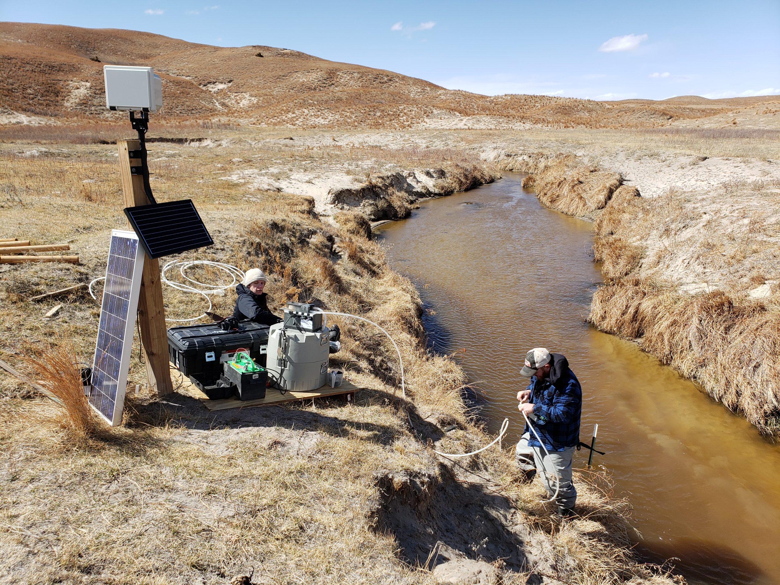
We’re excited to start blogging again in 2022, as we take GaugeCam in new directions. The photoshopped image below shows a site we’re planning on instrumenting in 2022.

Posted in Uncategorized
Tagged calibration gaugecam water level camera

Archives

  • September 2025
  • July 2025
  • June 2025
  • November 2024
  • September 2024
  • April 2024
  • March 2024
  • February 2024
  • December 2023
  • November 2023
  • September 2023
  • August 2023
  • June 2023
  • December 2022
  • November 2022
  • October 2022
  • September 2022
  • March 2022
  • February 2022
  • December 2021

Meta

  • Log in

Who we are:

Troy Gilmore – hydrology – Associate Professor, Conservation and Survey Division – School of Natural Resources, University of Nebraska-Lincoln

Ken Chapman – programming and machine vision, pursuing PhD in Natural Resources Sciences, Conservation and Survey Division – School of Natural Resources, University of Nebraska-Lincoln

John Stranzl – software development and machine learning, pursuing PhD in Natural Resources Sciences, Conservation and Survey Division – School of Natural Resources, University of Nebraska-Lincoln

Mary Harner – ecosystem, riparian, and wetland ecology; science communication – Research Professor, Department of Communication, Department of Biology, University of Nebraska at Kearney

François Birgand – ecological engineering, Professor, Biological and Agricultural Engineering – North Carolina State University

Mehrube Mehrubeoglu – machine learning and image analysis – Texas A&M University – Corpus Christi

Christian Chapman – Statistical signal processing and mathematical analysis – Technical Staff, MIT Lincoln Laboratory. 


Who we work with:

We are grateful for excellent colleagues at the University of Nebraska, including access to the incredible imagery of:

  • Platte Basin Timelapse Project (Mike Forsberg, School of Natural Resources, University of Nebraska-Lincoln)

GaugeCam users/testers:

  • ITESM (Guadalajara Campus and Puebla Campus)
    • GRIME-derived data has been used in two computer science courses (since Fall 2022)
      • Advanced AI for Data Science (1)
      • Business Solution Development Capstone projects (1, 2 and 3) 
    • Developing methods for monitoring river pollution
  • Idaho Power
    • field test completed at Boise State University Campus (spring 2021)
  • University of Kansas (Konza Prairie field application started in 2021)
  • University of Texas – Arlington (Sanchez-Murillo Lab)

GaugeCam Blog:

A composite image showing how the greenness of stream water changes over time.

The Greenness of Water

Troy September 4, 2025

Deadman’s Run is a flashy urban stream. A distinct green color is prominent after storm events. The composite images above […]

Image of great horned owl sitting on GRIME2 calibration target.

GRIME Software Fans Update

Troy July 31, 2025

We can’t help but share this image from one of our own Nebraska camera sites. Does this owl look magnificent, […]

Image of a creek with segmented water surface area.

Water Segmentation for Trail Cam Imagery

Troy June 6, 2025

Here are example test images from the Kearney Outdoor Learning Area (KOLA). This segmentation model was tuned as part of […]

Our MESH Software Development Philosophy

Apply Findable, Accessible, Interoperable, and Repeatable (FAIR) principles, to:

  • Maximize use and value of image archives
  • Expedite data triage and generation of hypotheses
  • Shift the time investment to the scientific questions
  • High usability and modular design to include non-(expert) programmers in science and education

GRIME2 and GRIME AI are both released using the Apache 2.0 license

Funding

We gratefully acknowledge funding from the following entities:

Daugherty Water for Food Global Institute (Graduate Fellowship)

John C. and Nettie V. David Memorial Trust Fund

University of Nebraska Collaboration Initiative Logo

U.S. Geological Survey Logo

This material is based upon work supported by the U.S. Geological Survey under Grant/Cooperative Agreement No. G23AC00141-00. The views and conclusions contained in this document are those of the authors and should not be interpreted as representing the opinions or policies of the U.S. Geological Survey. Mention of trade names or commercial products does not constitute their endorsement by the U.S. Geological Survey.

NSF Logo

GRIME AI development, related data products, and training resources are partially supported by the National Science Foundation.

Copyright © 2020-2025 Troy E. Gilmore. All rights reserved.